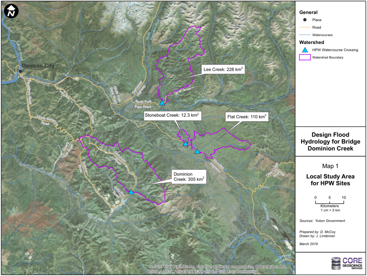
Peak Flow Analysis
Our peak flow analysis projects are designed to assist with determining watershed catchment areas, discharge rates (Q) and Mean Annual Floods (MAF). The Q and MAF values are often used in support of various Water Use License (WUL) applications and for engineering design purposes.
Yukon Government Highways and Public Works
Location: Multiple creeks within the Yukon
Year: 2019
Objective: To assist with determining watershed catchment areas, discharge rates (Q) and Mean Annual Floods (MAF) at various creek crossings in the Yukon.
Tell us about your project
Please contact us so that we can learn about your project and share with you the many ways that we can assist you in meeting your goals and needs.
Location
4109 4th Ave, Suite 206
Whitehorse, YT
Y1A 1H6
1-(867)-336-CORE (2673)
info@coregeo.ca
Mailing Address
11 Dolly Varden Dr.
Whitehorse, YT
Y1A 6A1


