Climate-Driven Terrain Stability and Hazard Mapping
CoreGeo staff have experience providing technical contributions, GIS mapping support, field support, and senior review on the terrain hazard mapping project to support environmental assessment for various projects. The report and accompanying maps characterized the types and distribution of terrain hazards for areas such as proposed mine sites, right of way assessments, and conveyance structures.
BMC Minerals (No. 1) Ltd.
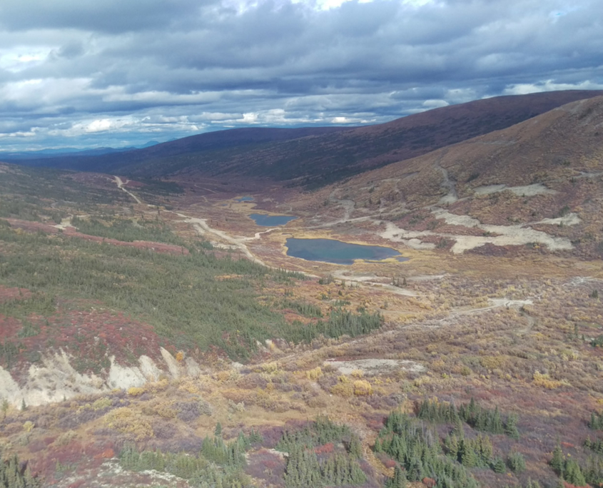
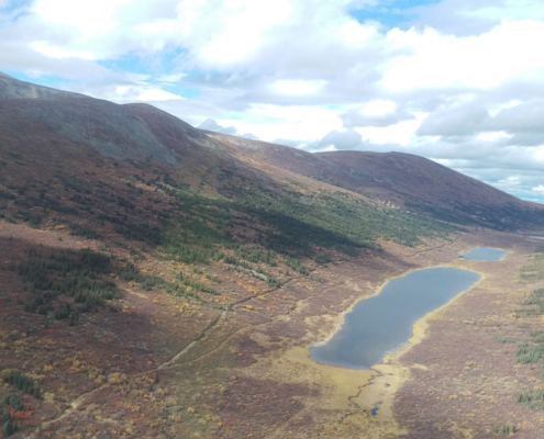
Location: Kudz Ze Kayah Project, YT
Year: 2017
Objective: Create and design a CDTSHM and related risk assessment at the Kudz Ze Kayah Project in southeastern Yukon.
Department of Highways and Public Works, Government of Yukon
Location: Ethel Lake Road area, at Km 524 on the North Klondike Highway
Year: 2020-2021
Objective: GIS-based desktop risk assessment and field-based ground truthing for the Ethel Lake Road following the 2019 Ethel Lake Forest Fire.
Tell us about your project
Please contact us so that we can learn about your project and share with you the many ways that we can assist you in meeting your goals and needs.
Location
4109 4th Ave, Suite 206
Whitehorse, YT
Y1A 1H6
1-(867)-336-CORE (2673)
info@coregeo.ca
Mailing Address
11 Dolly Varden Dr.
Whitehorse, YT
Y1A 6A1


